
1960 • 0h 10m • English •


Hunting Grounds
2025 • 1h 29mHunting Grounds
2025 • 1h 29m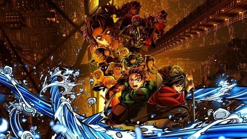
Demon Slayer: Kimetsu no Yaiba Infinity Castle
2025 • 2h 36mDemon Slayer: Kimetsu no Yaiba Infinity Castle
2025 • 2h 36m
The Elixir
2025 • 1h 58mThe Elixir
2025 • 1h 58m
Your Fault
2024 • 1h 58mYour Fault
2024 • 1h 58m
The Long Walk
2025 • 1h 49mThe Long Walk
2025 • 1h 49m
War of the Worlds
2025 • 1h 31mWar of the Worlds
2025 • 1h 31m
The Conjuring: Last Rites
2025 • 2h 15mThe Conjuring: Last Rites
2025 • 2h 15m
The Toxic Avenger Unrated
2025 • 1h 42mThe Toxic Avenger Unrated
2025 • 1h 42m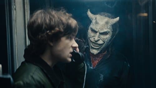
Black Phone 2
2025 • 1h 54mBlack Phone 2
2025 • 1h 54m
Martin
2024 • 2h 27mMartin
2024 • 2h 27m
Inside Furioza
2025 • 2h 46mInside Furioza
2025 • 2h 46m
My Fault
2023 • 1h 57mMy Fault
2023 • 1h 57m
Captain Hook - The Cursed Tides
2025 • 1h 30mCaptain Hook - The Cursed Tides
2025 • 1h 30m
Our Fault
2025 • 1h 53mOur Fault
2025 • 1h 53m
A House of Dynamite
2025 • 1h 52mA House of Dynamite
2025 • 1h 52m
Afterburn
2025 • 1h 45mAfterburn
2025 • 1h 45m
Stolen Girl
2025 • 1h 50mStolen Girl
2025 • 1h 50m
The Fantastic 4: First Steps
2025 • 1h 55mThe Fantastic 4: First Steps
2025 • 1h 55m
KPop Demon Hunters
2025 • 1h 36mKPop Demon Hunters
2025 • 1h 36m
xXx
2002 • 2h 4mxXx
2002 • 2h 4m
Hunting Grounds
2025 • 1h 29mHunting Grounds
2025 • 1h 29mDemon Slayer: Kimetsu no Yaiba Infinity Castle
2025 • 2h 36mDemon Slayer: Kimetsu no Yaiba Infinity Castle
2025 • 2h 36mThe Elixir
2025 • 1h 58mThe Elixir
2025 • 1h 58mYour Fault
2024 • 1h 58mYour Fault
2024 • 1h 58mThe Long Walk
2025 • 1h 49mThe Long Walk
2025 • 1h 49mWar of the Worlds
2025 • 1h 31mWar of the Worlds
2025 • 1h 31mThe Conjuring: Last Rites
2025 • 2h 15mThe Conjuring: Last Rites
2025 • 2h 15mThe Toxic Avenger Unrated
2025 • 1h 42mThe Toxic Avenger Unrated
2025 • 1h 42mBlack Phone 2
2025 • 1h 54mBlack Phone 2
2025 • 1h 54mMartin
2024 • 2h 27mMartin
2024 • 2h 27mInside Furioza
2025 • 2h 46mInside Furioza
2025 • 2h 46mMy Fault
2023 • 1h 57mMy Fault
2023 • 1h 57mCaptain Hook - The Cursed Tides
2025 • 1h 30mCaptain Hook - The Cursed Tides
2025 • 1h 30mOur Fault
2025 • 1h 53mOur Fault
2025 • 1h 53mA House of Dynamite
2025 • 1h 52mA House of Dynamite
2025 • 1h 52mAfterburn
2025 • 1h 45mAfterburn
2025 • 1h 45mStolen Girl
2025 • 1h 50mStolen Girl
2025 • 1h 50mThe Fantastic 4: First Steps
2025 • 1h 55mThe Fantastic 4: First Steps
2025 • 1h 55mKPop Demon Hunters
2025 • 1h 36mKPop Demon Hunters
2025 • 1h 36mxXx
2002 • 2h 4mxXx
2002 • 2h 4m